The images below are visualisations produced to assist in an understanding of how the embankment for the scheme will look. Visualisations were produced at the early design stages, and the images below have been updated as a result of the pre-application (PAC) period to illustrate the developed design.
Please note that visualisations are indicative. They show the position and size of the proposed embankment, but do not show all design details.

High level view towards Rhyl Golf Club from the sea, showing a raised embankment around the edge of the golf course.

Aerial view looking down on Rhyl Golf Club from the north-east, showing a raised embankment around the edge of the golf course.

Aerial view looking down on Rhyl Golf Club from the west, showing the proposed embankment around the edge of the golf course.
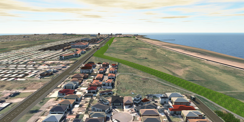
View from the east looking west towards Rhyl Golf Club. The image shows the alignment of the embankment around the edge of the golf course, adjacent to A548 Coast Road, Terfyn Pella Avenue and Green Lanes.

View of the central access ramp and stairs from the A548, Coast Road over the embankment.

View looking north-east from the A548, Coast Road showing the proposed new embankment.

View looking north west from the A548, Coast Road showing the proposed new embankment and golf course behind.